Feasibility assessment
Map the missions, terrain, obstacles, airspace restrictions and operating conditions.
Surveillance drones
Validate feasibility, operating conditions and practical value before deployment.
My Robot Guard assesses aerial-security projects in Switzerland, from the initial site review to a controlled pilot, then coordinates integration with sensors, monitoring tools and site procedures.
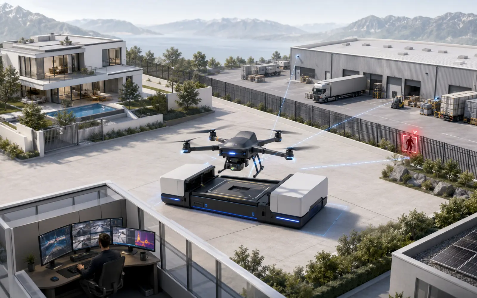
Your objective
A drone becomes relevant when distance, obstacles or blind spots slow down alarm verification. It can reach a remote fence, inspect a roof or provide an overview of a large perimeter. It is not the right answer for every site.
Our assessment begins with the mission rather than a particular aircraft. We review the terrain, airspace, people who may be present, obstacles, weather, privacy requirements and the security measures already operating on the site.
Where the scenario is compatible, the drone becomes part of a complete operating chain. A sensor detects an event, the monitoring team qualifies it, the flight provides another viewpoint when conditions allow, and an operator follows the agreed response procedure.
Deployment should begin with a limited perimeter and a small number of measurable scenarios. This pilot validates time to useful imagery, real system availability, cancelled missions and the human workload genuinely reduced.
The challenge
01An aerial view creates value only when it genuinely reduces uncertainty around an alarm.
02Technical autonomy never removes the responsibilities of the operator and remote pilot.
03Routes, camera angles and footage retention must protect people and neighbouring properties.
04Weather, connectivity, batteries and maintenance require fallback protection whenever the drone remains grounded.
A purpose-built architecture
Map the missions, terrain, obstacles, airspace restrictions and operating conditions.
Define the flight category, responsibilities, competence, privacy controls and degraded modes.
Connect the dock, sensors, video, monitoring platform and response procedures.
Test a small number of scenarios on a limited perimeter before extending coverage or investment.
Use cases
Frequently asked questions
It should provide faster or more complete information than fixed cameras, a ground robot or a human patrol. Perimeter size, obstacles, verification time and the ability to create safe flight routes are decisive.
Some sequences can be automated, but every mission remains subject to aviation law and an operator's responsibility. Remote flight beyond direct visual line of sight will generally enter the specific category and require the applicable framework or authorisation. Feasibility must be assessed case by case.
We review the mission, restriction map, airspace, people, obstacles, weather, communications, recorded data, responsibilities and the response procedure triggered by an alarm.
Routes and camera angles should limit recording to the necessary perimeter. Swiss data-protection law applies whenever people are identifiable. Recording neighbouring land or public space requires particularly strong justification.
Relevant indicators include time from alarm to useful imagery, cancelled missions, transmission quality, alarms qualified more accurately, system availability and human time genuinely saved.
The system must retain a fallback layer. Fixed cameras, sensors, a ground robot or human intervention remain available according to the site's risks and procedures.
The budget depends on the aircraft, dock, sensors, software, integration, operating framework, maintenance and service level. A reliable estimate requires an initial review of the site and intended missions.
Assessment and pilot