This page covers the essential concepts and links to more specialised resources. Capabilities, constraints and rules must always be checked against the relevant site and use case.
Beehive Security is a complete system, not a consumer drone
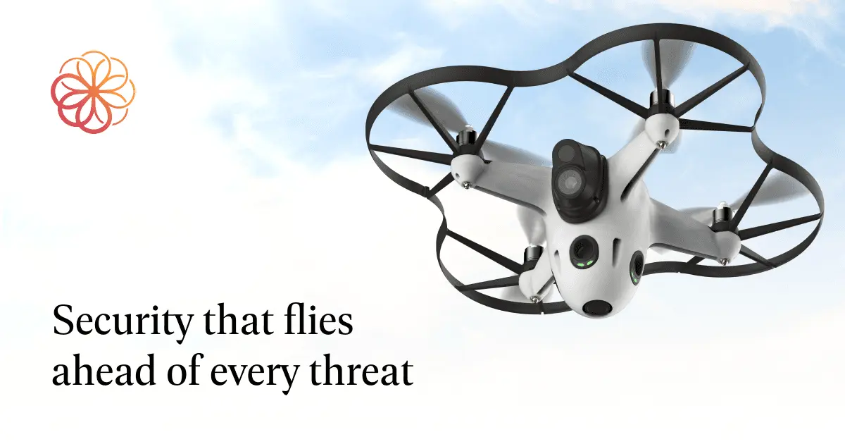
The Beehive from Sunflower Labs is an aerial security system for fixed sites. It combines the Bee drone, the outdoor Hive station, a control platform and integrations with third-party cameras, alarms or sensors. Sunflower Labs states that its original motion and vibration sensors are no longer developed or sold as standalone products. For verification, see Sunflower Labs: Bee and Hive technical specifications.
A mission can be triggered by an event, launched on demand or scheduled. The Bee leaves the station, follows a prepared route, streams live video, then lands and recharges in the Hive. A pilot in command normally remains connected even when the mission itself is highly automated.
Sunflower Labs says it currently ships Beehive systems to Europe and has delivered systems since 2022. That establishes commercial availability, not automatic permission for every property. A Swiss project must still qualify the site, operating scenario, responsible operator and flight supervision under the applicable rules. For verification, see Sunflower Labs: Beehive operation, availability and FAQ.
The value lies in reducing uncertainty around a distant alert. It does not lie in autonomous confrontation. The aircraft provides another viewpoint; people remain responsible for flight safety, event assessment and escalation.
For a deeper analysis, read Surveillance drone solution. Move from technical comparison to a feasibility assessment.
What the Bee, Hive and operating service actually include
The manufacturer’s specifications, last updated on 25 June 2025, describe a 1.56 kg Bee with HD video, 15 minutes of operational flight time and a further 5-minute safety reserve. The stated maximum operating radius is approximately 600 metres, although useful coverage depends on the required response time, route, weather and site restrictions.
The Hive protects, charges and connects the aircraft. It requires power, network connectivity and a clear outdoor installation area. Sunflower Labs lists Ethernet, an optional LTE modem and one hour of backup-battery runtime. A thermal camera is optional, while the standard payload uses a low-light camera. For verification, see Sunflower Labs: deployments and US waiver announced on 5 May 2026.
The proposition is therefore not simply an aircraft purchase. Configuration, installation, the pilot in command, monitoring, integrations, maintenance and regulatory clearance all form part of the operating model. Sunflower Labs says the pilot may be provided by the customer, its security company or a partner remote-piloting service.
How aerial alarm verification works
A useful mission starts before take-off. A camera, alarm platform or third-party sensor identifies activity and provides a location. The system checks whether the drone, weather, route and operating conditions allow a flight. A pilot in command supervises the mission. For verification, see FOCA: rules applicable to drone flights.
The aircraft launches from its station, follows a prepared route and points its camera towards the relevant zone. The operator receives live video and can adjust the viewpoint within authorised limits. After the observation, the drone returns to the station for protection and charging.
This chain needs measurable timing. Customers should record the delay from detection to useful video, the proportion of missions that cannot launch, image quality at night, remote-pilot availability and the outcome of each event. A nominally autonomous flight has little security value if weather or procedure prevents most urgent departures.
Fixed cameras and sensors remain the continuous layer. They detect events when the drone is charging, maintained or grounded. Beehive adds mobility and an aerial perspective; it should not become the only source of alarm verification.
Which properties can justify the system?
Beehive makes the most sense on large, clearly bounded properties where reaching a distant zone takes time. Estates, private campuses, remote compounds and extensive grounds may contain gates, outbuildings, long driveways and vegetation that create blind spots.
On a compact urban villa, the drone may have too little useful airspace. Neighbours, roads, people and buildings leave limited room for a proportionate route. Additional fixed cameras, lighting and perimeter sensors are usually simpler and available in more weather conditions.
Topography also matters. Trees, power lines, steep land and structures affect navigation and communications. The docking location requires a clear launch area, power, connectivity, drainage, physical protection and maintenance access.
The economic case should compare the frequency and value of incidents with the cost of operation, pilots, maintenance and authorisation. A drone can also support property inspection or emergency awareness, but every additional use must fit the approved operating and data purposes.
For a deeper analysis, read Villa security. Build proportionate residential protection.
Swiss regulation fundamentally changes the equation
A permanently installed drone that launches under remote supervision will generally operate beyond the direct visual line of sight of the pilot. In Switzerland, BVLOS operation belongs to the specific category and requires an appropriate authorisation process with the Federal Office of Civil Aviation. For verification, see FOCA: introduction to the specific category.
The operating case must address airspace, people on the ground, nearby roads and properties, weather, loss of communication, technical failure, remote-pilot competency and emergency procedures. Owning the hardware does not grant permission to launch.
Sunflower Labs states that Beehive is cleared in Europe through an EASA SORA-based authorisation and that its team supports regulatory clearance. That statement does not remove the need to confirm that the authorisation, operator and conditions apply to the proposed Swiss site and mission.
The first feasibility question is not which camera to select. It is whether a useful route can be authorised and operated reliably around the property. My Robot Guard would define the necessary zones and decisions before involving aviation specialists and the authority.
Privacy, neighbours and video security
An aerial camera can see beyond a fence more easily than a ground sensor. Routes, altitude and camera direction must therefore minimise neighbouring gardens, windows, roads and public spaces. Digital geographic limits should prevent the operator from casually exploring unrelated areas.
People on the property need clear information about the system. Household staff, visitors and contractors should understand the purpose and likely operating times. A security mission should not become continuous observation of daily private life.
Routine footage can be deleted quickly when no incident is confirmed. Relevant evidence may be preserved under restricted access. The customer should know where video is processed, which remote pilots can view it, which subprocessors are involved and how every access or export is logged.
The Beehive station, aircraft, network and pilot platform all require cybersecurity controls. Named accounts, strong authentication, software-update governance and tested behaviour during a link loss are essential. A remote operation service should provide contractual incident reporting and data-deletion commitments.
Our view: a commercial service that is never ready to fly without a site assessment
Sunflower Labs now presents Beehive as a system shipping in Europe, rather than as a prototype or preorder concept. Combining a permanent dock, aerial camera, security integrations and remote pilots addresses a real weakness of large properties: the time needed to understand a distant alert. For verification, see FDPIC: photos and video surveillance.
Commercial maturity does not make a Swiss deployment immediate. Aviation rules, third parties, neighbours, privacy, connectivity and degraded modes still require a site-specific assessment. Beehive should be evaluated as an aviation and security service, not as a flying smart-home camera.
For a large and relatively isolated property, a feasibility study may show enough operational value and suitable airspace to continue. For a compact property, perimeter sensors, fixed or thermal cameras and a ground robot may meet the same objective in more conditions.
The sound decision is therefore comparative. Test response time, launch availability, usable imagery, privacy controls, pilot coverage and fallback layers before treating aerial verification as a core security function.
For a deeper analysis, read Surveillance drones. Understand technology, authorisation and fallback layers.
Frequently asked questions
What is Sunflower Labs Beehive Security?
Beehive is a fixed-site security system combining the Bee drone, the Hive charging station, a control platform, third-party security integrations and the organisation of flight oversight. It is not a consumer drone on an automatic charger.
Is Beehive a product or a managed security service?
Both dimensions matter. The hardware includes the Bee and Hive, while a usable deployment also needs configuration, installation, a pilot in command, monitoring, maintenance and the appropriate operating approval.
Is Sunflower Labs Beehive available in Switzerland?
Sunflower Labs says it ships to Europe and has delivered systems since 2022. Possible delivery does not by itself authorise a flight. Operational availability in Switzerland must be confirmed for the proposed site, operator and mission.
Does the Bee require a pilot?
In most operating frameworks described by the manufacturer, yes. The flight may be highly automated, but a pilot in command normally remains connected and able to react. The pilot may come from the customer, a security company or a partner service.
How long can the Beehive security drone fly?
Sunflower Labs specifies 15 minutes of operational flight time plus a 5-minute safety reserve and an approximate maximum radius of 600 metres. Actual endurance and useful coverage depend on weather, route and the required response time.
Does Beehive replace fixed cameras and security staff?
No. Cameras and sensors provide continuous detection when the aircraft cannot launch. The Bee adds a mobile aerial viewpoint. People remain responsible for event assessment, flight supervision and the response procedure.